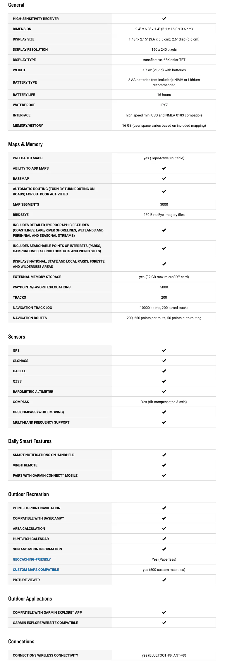
Tech Specs
In The Box
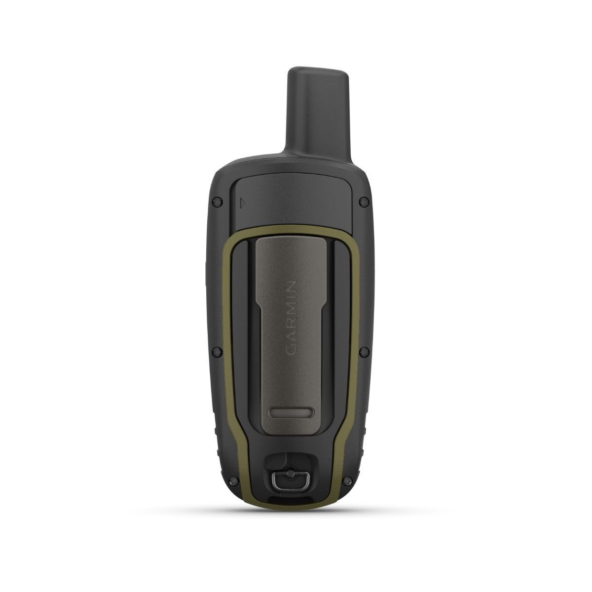
- GPSMAP 65s
- USB cable
- Carabiner clip
- Documentation
Manual & Warranty
Do you have an old GPS unit lying around? The GPS Nation Trade In and Up program is a great way to trade in your old and used GPS for credit towards a new GPS. The choice is entirely yours! We’ve made the process simple and streamlined. Follow these simple steps, and you will be on your way to receiving credit towards your brand new GPS!
1. Get a quote
To get your free quote, provide your GPS type, manufacturer, model, and condition. Within 24 hours, you will receive a quote for the trade-in value of your current product. The GPS trade-in/trade-up form is at the bottom of this page.
2. Ship your product(s) for trade
After accepting our offer, pack your product(s) safely and ship them to us using the pre-paid shipping label provided to you. We will provide a confirmation email when your trade-in arrives at our warehouse. You have 30 days from the date you complete your on-line trade to ship the product to GPS Nation.
3. Make your purchase
Once we receive your product at our warehouse and we validate the stated condition, we will send you a confirmation email. If you elect to receive credit towards a new GPS at gpsnation.com, your store credit will be issued, and you are free to make your purchase.
Reviews
Ask a Question
Tech Specs

In The Box
- GPSMAP 65s
- USB cable
- Carabiner clip
- Documentation
Manual & Warranty
Trade-In Program
Do you have an old GPS unit lying around? The GPS Nation Trade In and Up program is a great way to trade in your old and used GPS for credit towards a new GPS. The choice is entirely yours! We’ve made the process simple and streamlined. Follow these simple steps, and you will be on your way to receiving credit towards your brand new GPS!
1. Get a quote
To get your free quote, provide your GPS type, manufacturer, model, and condition. Within 24 hours, you will receive a quote for the trade-in value of your current product. The GPS trade-in/trade-up form is at the bottom of this page.
2. Ship your product(s) for trade
After accepting our offer, pack your product(s) safely and ship them to us using the pre-paid shipping label provided to you. We will provide a confirmation email when your trade-in arrives at our warehouse. You have 30 days from the date you complete your on-line trade to ship the product to GPS Nation.
3. Make your purchase
Once we receive your product at our warehouse and we validate the stated condition, we will send you a confirmation email. If you elect to receive credit towards a new GPS at gpsnation.com, your store credit will be issued, and you are free to make your purchase.
Overview
FIND YOUR WAY IN THIS BIG, WIDE WORLD
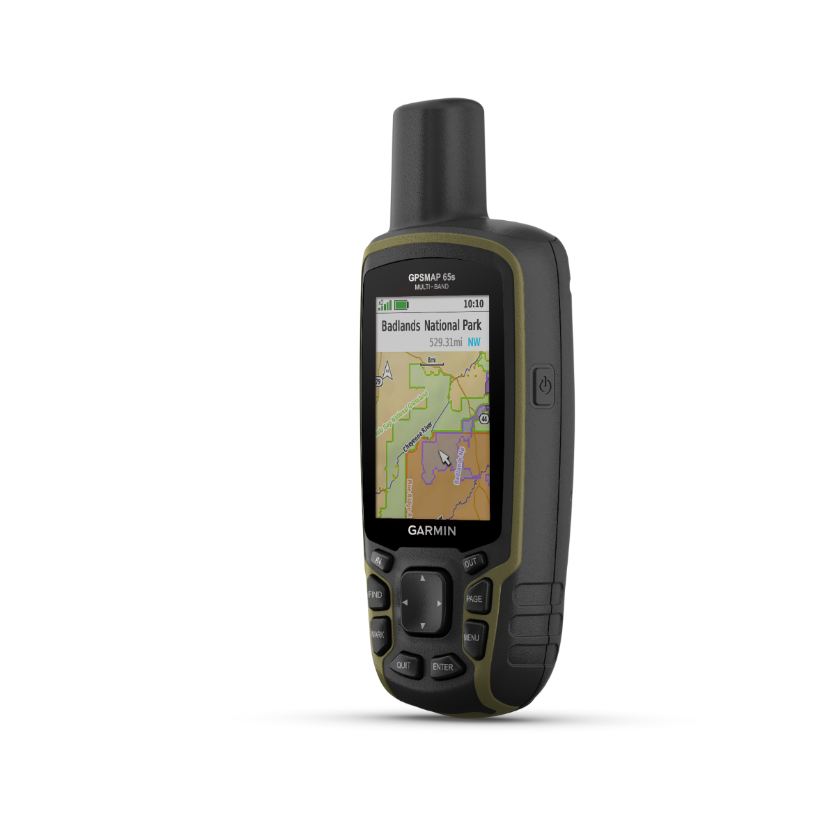
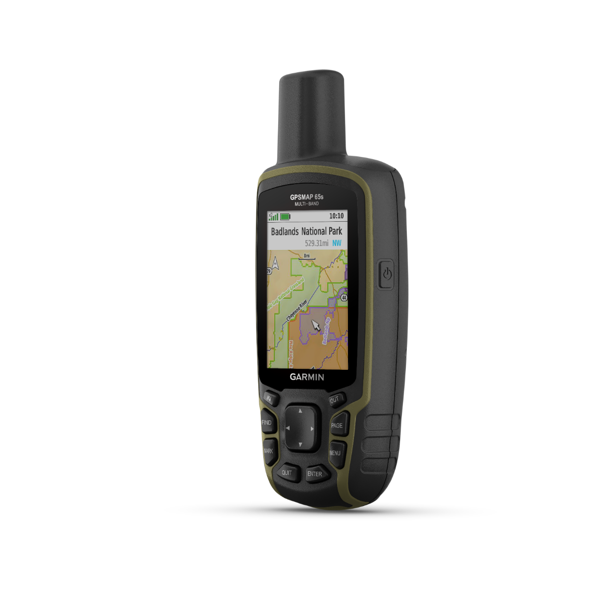
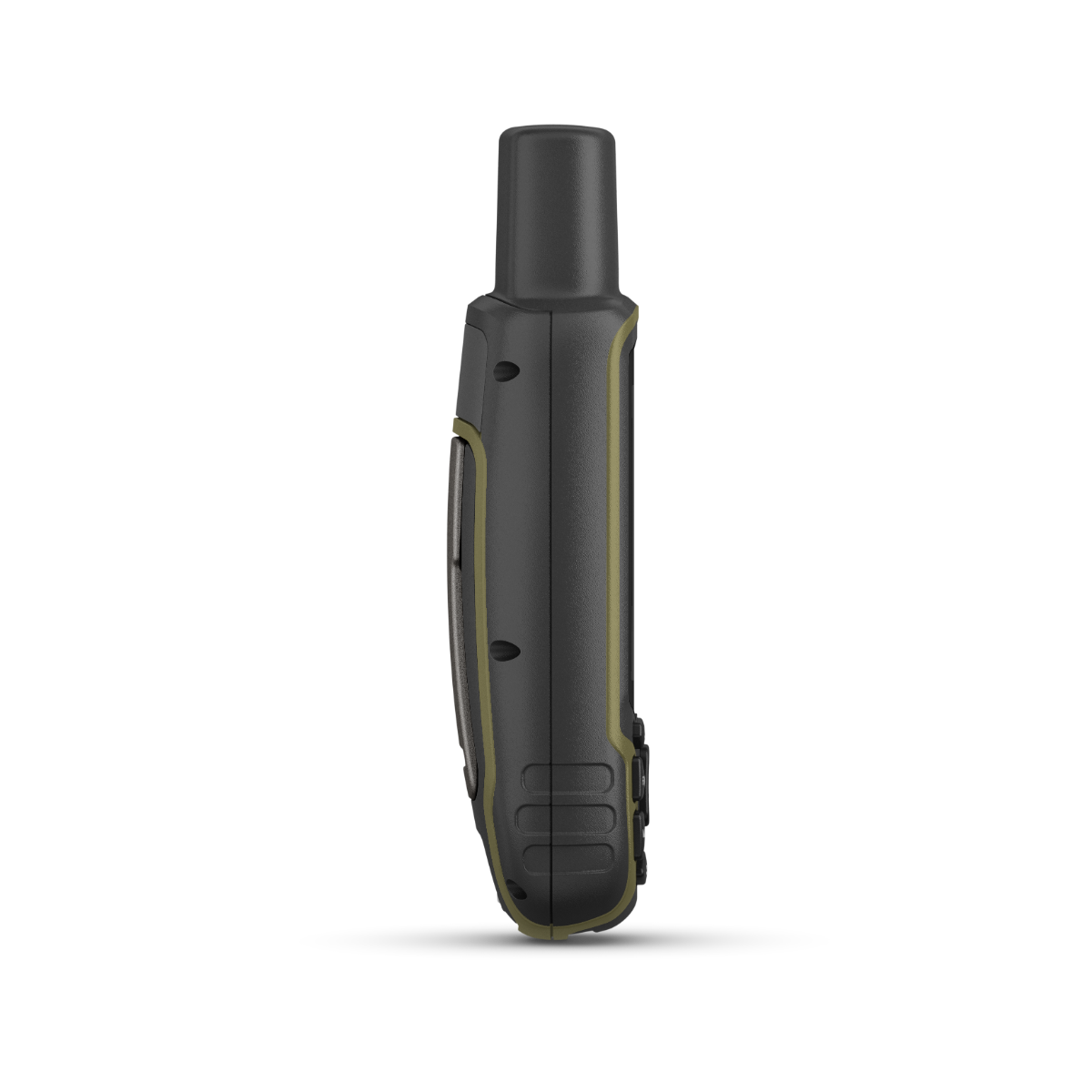
Explore more with this rugged handheld that offers multi-band frequency support for our most accurate position to date, a 2.6” color display and preloaded maps.

Don’t miss a detail with this large, sunlight-readable color display.

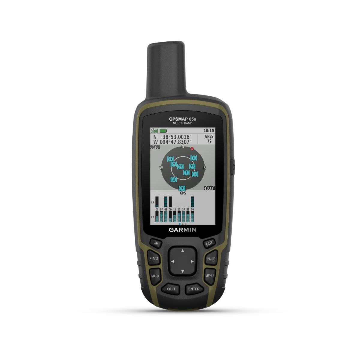
Lead the way in challenging locations with multi-band technology and expanded GNSS satellite support.

Cross the countryside with routable TopoActive maps for the U.S. and Canada.

Plot your next move with built-in navigation sensors.

Organize your adventure from anywhere with the Garmin Explore website and app.

Travel with up to 16 hours of battery life in GPS mode.
Follow your path.


 EXPANDED GNSS SUPPORT
Access multiple global navigation satellite systems (GPS, GLONASS, GALILEO and QZSS) to track in more challenging environments.
MULTI-BAND FREQUENCY SUPPORT
Receive and utilize multiple frequencies sent by navigation satellites which enables improved user position accuracy, specifically in areas where GNSS signals are reflected, weak or typically do not penetrate. Get superior accuracy using state of the art technology, previously only available to the military.
ABC SENSORS
Navigate every trail with ABC sensors, including an altimeter for elevation data, barometer to monitor weather and 3-axis electronic compass.


 PRELOADED TOPO MAPS
Preloaded TopoActive U.S. and Canada maps show you terrain contours, topographic elevations, summits, parks, coastlines, rivers, lakes and geographical points.
PUBLIC LAND BOUNDARIES
An optional display of federal public land boundaries on topographical maps helps you know that you’re venturing where you’re supposed to be.
GARMIN EXPLORE APP
Plan, review and sync waypoints, routes and tracks by using the Garmin Explore app and website. You can even review completed activities while still in the field.

SMART NOTIFICATIONS
Receive emails, texts and alerts right on your handheld when paired with your compatible device.
GEOCACHING
Get paperless geocaches by uploading GPX files straight to your device. View key information such as location, terrain and hints from Geocaching.com.
MICROSD SLOT
Using your compatible device and microSD memory card, conveniently download TOPO 24K maps and hit the trail, or access HuntView Plus maps to see public land types and boundaries as well as private landowner names and boundaries.


