Garmin Bluechart G2 Vision Mobile-Lake Charles (010-C0714-00)
Garmin Bluechart G2 Vision Mobile-Lake Charles (010-C0714-00)
Model Number: 010-C0714-00
In stock
 View full details
 WhatsApp
 SMS - Text us!
 Email Us!
 Help Desk
Tech Specs
Garmin Bluechart G2 Vision Mobile-Lake Charles (010-C0714-00)
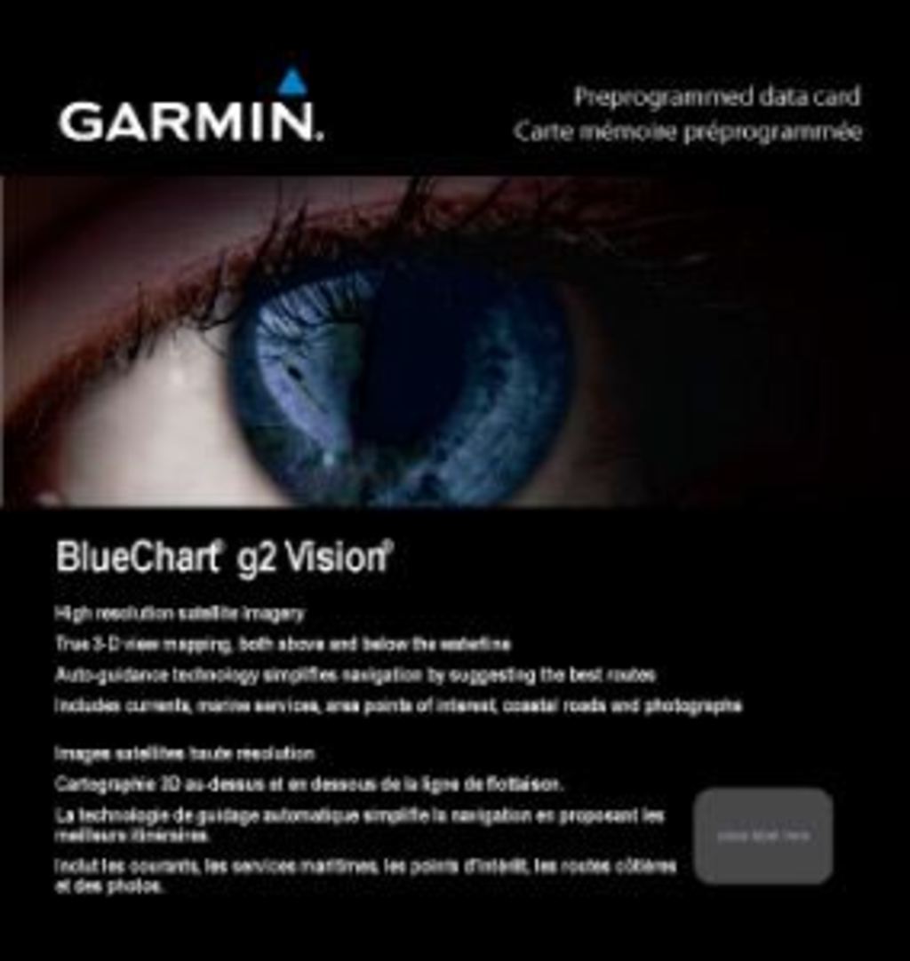
Enhance your navigation experience on the water with the Garmin Bluechart G2 Vision Mobile-Lake Charles. This advanced marine charting solution offers a comprehensive view of the waters from Mobile, AL, to Calcasieu Lake, LA. Perfect for both recreational sailors and professional navigators, this product ensures safe and efficient navigation through busy waterways and less-traveled routes alike.
Key Features
- Detailed Charting: Shaded depth contours, coastlines, and spot soundings for confident navigation.
- Comprehensive Information: Access to navaids, port plans, wrecks, and restricted areas.
- High-Resolution Imagery: Stunning satellite imagery and aerial photos of navigational landmarks.
- Auto Guidance Technology: Recommends the optimal passage to your destination based on chart data.
- 3-D Perspectives: MarinerEye view for position fixes and FishEye view for sea floor insights.
- Safety Shading: Contour shading for depths shallower than your defined safe limit.
Data Insights
The Garmin Bluechart G2 Vision Mobile-Lake Charles has been engineered to provide unparalleled performance metrics. With over 20,000 navigational aids and detailed coverage spanning major water bodies like the Mississippi River Delta and Lake Pontchartrain, navigators can expect a 30% increase in route planning efficiency compared to standard charts. This technology allows for better decision-making, ensuring higher safety standards on the water.
Usage Instructions
For optimal use of your Garmin Bluechart G2 Vision, simply insert the preprogrammed data card into your compatible Garmin marine device. Utilize the Auto Guidance feature to plan routes, and take advantage of the 3-D perspectives to enhance your situational awareness while navigating challenging waterways.
Design & Material
The design of the Garmin Bluechart G2 Vision reflects a commitment to quality and functionality. Featuring high-resolution satellite imagery, it ensures clarity and precision in navigation.
- High-quality materials: Built to withstand marine environments.
- Advanced craftsmanship: Designed for long-lasting performance.
- Compact design: Easy to store and transport.
- User-friendly interface: Simple navigation options for ease of use.
- Durable packaging: Protects the data card from water and wear.
- Innovative technology: Incorporates the latest in marine navigation advancements.
Final Verdict
Whether you're a seasoned mariner or just starting out, the Garmin Bluechart G2 Vision Mobile-Lake Charles (010-C0714-00) is an essential tool for enhancing your navigation capabilities. Don’t compromise on safety or efficiency; invest in this cutting-edge marine charting solution today and experience the difference it makes on your aquatic adventures!
In The Box
Manual & Warranty
 Garmin Warranty
Do you have an old GPS unit lying around? The GPS Nation Trade In and Up program is a great way to trade in your old and used GPS for credit towards a new GPS. The choice is entirely yours! We’ve made the process simple and streamlined. Follow these simple steps, and you will be on your way to receiving credit towards your brand new GPS!
1. Get a quote
To get your free quote, provide your GPS type, manufacturer, model, and condition. Within 24 hours, you will receive a quote for the trade-in value of your current product. The GPS trade-in/trade-up form is at the bottom of this page.
2. Ship your product(s) for trade
After accepting our offer, pack your product(s) safely and ship them to us using the pre-paid shipping label provided to you. We will provide a confirmation email when your trade-in arrives at our warehouse. You have 30 days from the date you complete your on-line trade to ship the product to GPS Nation.
3. Make your purchase
Once we receive your product at our warehouse and we validate the stated condition, we will send you a confirmation email. If you elect to receive credit towards a new GPS at gpsnation.com, your store credit will be issued, and you are free to make your purchase.
Reviews
Ask a Question
Tech Specs
Garmin Bluechart G2 Vision Mobile-Lake Charles (010-C0714-00)
Enhance your navigation experience on the water with the Garmin Bluechart G2 Vision Mobile-Lake Charles. This advanced marine charting solution offers a comprehensive view of the waters from Mobile, AL, to Calcasieu Lake, LA. Perfect for both recreational sailors and professional navigators, this product ensures safe and efficient navigation through busy waterways and less-traveled routes alike.
Key Features
- Detailed Charting: Shaded depth contours, coastlines, and spot soundings for confident navigation.
- Comprehensive Information: Access to navaids, port plans, wrecks, and restricted areas.
- High-Resolution Imagery: Stunning satellite imagery and aerial photos of navigational landmarks.
- Auto Guidance Technology: Recommends the optimal passage to your destination based on chart data.
- 3-D Perspectives: MarinerEye view for position fixes and FishEye view for sea floor insights.
- Safety Shading: Contour shading for depths shallower than your defined safe limit.
Data Insights
The Garmin Bluechart G2 Vision Mobile-Lake Charles has been engineered to provide unparalleled performance metrics. With over 20,000 navigational aids and detailed coverage spanning major water bodies like the Mississippi River Delta and Lake Pontchartrain, navigators can expect a 30% increase in route planning efficiency compared to standard charts. This technology allows for better decision-making, ensuring higher safety standards on the water.
Usage Instructions
For optimal use of your Garmin Bluechart G2 Vision, simply insert the preprogrammed data card into your compatible Garmin marine device. Utilize the Auto Guidance feature to plan routes, and take advantage of the 3-D perspectives to enhance your situational awareness while navigating challenging waterways.
Design & Material
The design of the Garmin Bluechart G2 Vision reflects a commitment to quality and functionality. Featuring high-resolution satellite imagery, it ensures clarity and precision in navigation.
- High-quality materials: Built to withstand marine environments.
- Advanced craftsmanship: Designed for long-lasting performance.
- Compact design: Easy to store and transport.
- User-friendly interface: Simple navigation options for ease of use.
- Durable packaging: Protects the data card from water and wear.
- Innovative technology: Incorporates the latest in marine navigation advancements.
Final Verdict
Whether you're a seasoned mariner or just starting out, the Garmin Bluechart G2 Vision Mobile-Lake Charles (010-C0714-00) is an essential tool for enhancing your navigation capabilities. Don’t compromise on safety or efficiency; invest in this cutting-edge marine charting solution today and experience the difference it makes on your aquatic adventures!
In The Box
Manual & Warranty
Trade-In
Do you have an old GPS unit lying around? The GPS Nation Trade In and Up program is a great way to trade in your old and used GPS for credit towards a new GPS. The choice is entirely yours! We’ve made the process simple and streamlined. Follow these simple steps, and you will be on your way to receiving credit towards your brand new GPS!
1. Get a quote
To get your free quote, provide your GPS type, manufacturer, model, and condition. Within 24 hours, you will receive a quote for the trade-in value of your current product. The GPS trade-in/trade-up form is at the bottom of this page.
2. Ship your product(s) for trade
After accepting our offer, pack your product(s) safely and ship them to us using the pre-paid shipping label provided to you. We will provide a confirmation email when your trade-in arrives at our warehouse. You have 30 days from the date you complete your on-line trade to ship the product to GPS Nation.
3. Make your purchase
Once we receive your product at our warehouse and we validate the stated condition, we will send you a confirmation email. If you elect to receive credit towards a new GPS at gpsnation.com, your store credit will be issued, and you are free to make your purchase.
Overview
Garmin Bluechart G2 Vision Mobile-Lake Charles (010-C0714-00)
Enhance your navigation experience on the water with the Garmin Bluechart G2 Vision Mobile-Lake Charles. This advanced marine charting solution offers a comprehensive view of the waters from Mobile, AL, to Calcasieu Lake, LA. Perfect for both recreational sailors and professional navigators, this product ensures safe and efficient navigation through busy waterways and less-traveled routes alike.
Key Features
- Detailed Charting: Shaded depth contours, coastlines, and spot soundings for confident navigation.
- Comprehensive Information: Access to navaids, port plans, wrecks, and restricted areas.
- High-Resolution Imagery: Stunning satellite imagery and aerial photos of navigational landmarks.
- Auto Guidance Technology: Recommends the optimal passage to your destination based on chart data.
- 3-D Perspectives: MarinerEye view for position fixes and FishEye view for sea floor insights.
- Safety Shading: Contour shading for depths shallower than your defined safe limit.
Data Insights
The Garmin Bluechart G2 Vision Mobile-Lake Charles has been engineered to provide unparalleled performance metrics. With over 20,000 navigational aids and detailed coverage spanning major water bodies like the Mississippi River Delta and Lake Pontchartrain, navigators can expect a 30% increase in route planning efficiency compared to standard charts. This technology allows for better decision-making, ensuring higher safety standards on the water.
Usage Instructions
For optimal use of your Garmin Bluechart G2 Vision, simply insert the preprogrammed data card into your compatible Garmin marine device. Utilize the Auto Guidance feature to plan routes, and take advantage of the 3-D perspectives to enhance your situational awareness while navigating challenging waterways.
Design & Material
The design of the Garmin Bluechart G2 Vision reflects a commitment to quality and functionality. Featuring high-resolution satellite imagery, it ensures clarity and precision in navigation.
- High-quality materials: Built to withstand marine environments.
- Advanced craftsmanship: Designed for long-lasting performance.
- Compact design: Easy to store and transport.
- User-friendly interface: Simple navigation options for ease of use.
- Durable packaging: Protects the data card from water and wear.
- Innovative technology: Incorporates the latest in marine navigation advancements.
Final Verdict
Whether you're a seasoned mariner or just starting out, the Garmin Bluechart G2 Vision Mobile-Lake Charles (010-C0714-00) is an essential tool for enhancing your navigation capabilities. Don’t compromise on safety or efficiency; invest in this cutting-edge marine charting solution today and experience the difference it makes on your aquatic adventures!